Tanzania part 1 : Ol Doinyo Lengai expedition,
June 27 - July 6, 2004
|
Gallery 1 Travel to Ol Doinyo Lengai |
Gallery 7 Wildlife around Lengai | ||||
| Gallery 2 Lake Natron & Ol Doinyo Lengai | Gallery 8 Close up | ||||
| Gallery 3 Ascent, crater map and camp | Gallery 9 Lava lake adventure | ||||
| Gallery 4 Active north crater | Gallery 10 People on Lengai | ||||
| Gallery 5 Eruptions by day | Slide show | ||||
| Gallery 6 Eruptions by night | Links to other Lengai websites |
3 Ascent, crater map, and the camp
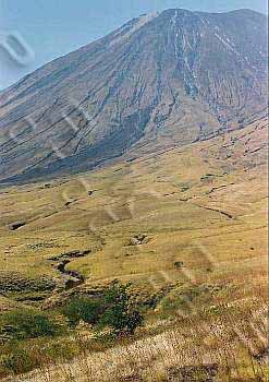
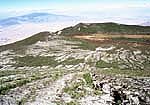
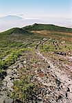
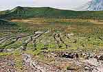
June 29th we started going up at 3 am at an altitude of about 1000m. We arrived at the crater at 2850m about 10am. The first part was ok, but as on most active volcanoes, the higher we went, the steeper it got and the more loose material on the track. And the last part there was no track at all, just the small erosion canals. The weather was very bad with high winds generating dust storms and very poor visibility. And to make thing worse I became sick from exhaustion and probably altitude. But in the end I reached the top. And when I rehydrated I felt much better.
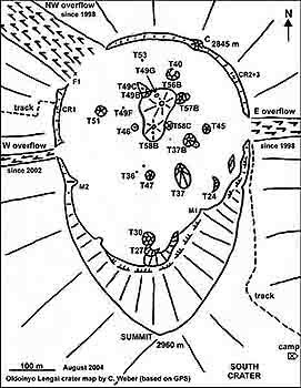
Since the cones in the north crater are formed and eroded so quickly this drawing of the active north crater has been used and updated over the years as a reference. All cones have a specific code to monitor crater and cone development. This last drawing from Chris Weber is the August 2004 situation. A new cone has formed since early July 2004 called T58C and the formation has been described by Fred Belton .
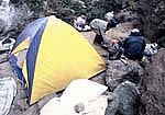
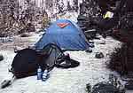
A small German expedition led by Chris Weber was already up Lengai for a week and stayed in the inactive south crater. They lost two from their four tents due to the very bad weather and were forced to move their camp to the much more dangerous but slighly less windy (and much more dusty) active north crater. Chris produced the crater map above and keeps it updated as much as possible. Some of our group stayed in the safe but windy south crater, and some did not want to miss any eruption and preffered the dust and risk of lavaburns. So we had a camp and the kitchen in the north and some tents in the south crater.
